

About
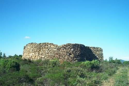
Discover this site located 600 meters above sea level on the Lambert plateau in the hills of Collobrières.
This highest point at 600 meters altitude in the heart of the Maures massif marks the boundary between the communes of Collobrières and Bormes les Mimosas.
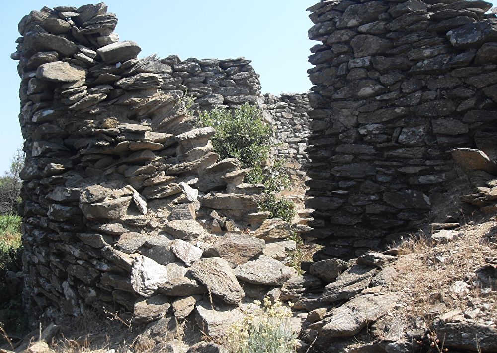
It was also at this location that the Germans built Station No. 37 Telemach Y Geräte Jägermess Stellung, occupied by the 20th company of Ln-Rgt52 of the Luftwaffe.
This friendly fighter control and guidance station consisted of:
- the concentration of the 3 Freya radars, spaced 150 to 200m apart to the west,
- devices constituting the 3 Y lines in the eastern part,
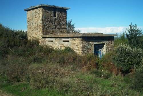
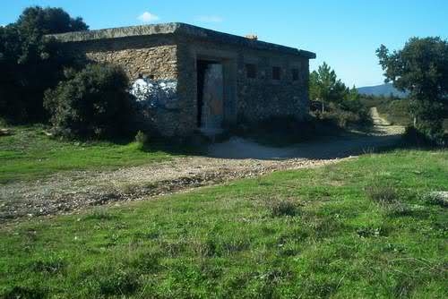
- 3 casemates which contained the operators and equipment necessary for the operation of the "Heinrich Towers" (radio direction finding devices),
- 3 casemates employing "Hans pylons", transmitters implementing the IFF system carried by friendly fighter aircraft,
- of a Heinrich tower and a Hans pylon which constitute a Y-Line (Y lines).
This system made it possible to track and guide several "friendly" hunting formations (several Y lines) towards their objectives.
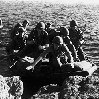
On August 16, 1944, Vallier and his men, accompanied by local resistance fighters, attacked the radar station, but the enemy had already left. This station appears never to have been operational.
- Languages spoken: French
- Animals : Not available
Prices
Free.
Schedules
-
From 01/01/26 to 31/12/26
- Monday : Open
- Tuesday : Open
- Wednesday : Open
- THURSDAY : Open
- Friday : Open
- SATURDAY : Open
- Sunday : Open
Contact
Laquina Trail
83610 Collobrières
83610 Collobrières